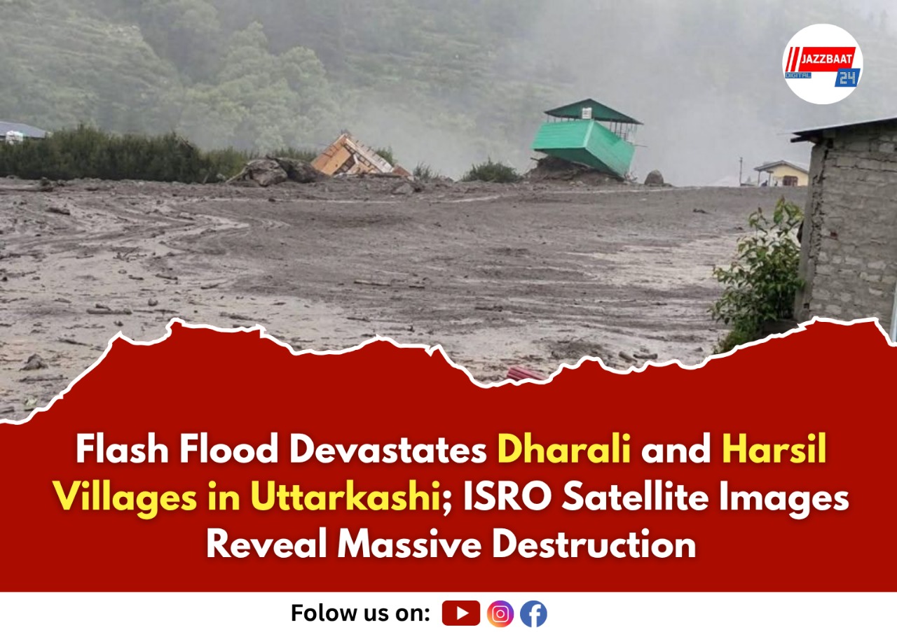
A severe flash flood caused by heavy rainfall has devastated the villages of Dharali and Harsil in Uttarkashi district. It has destroyed homes, buildings, bridges, and roads, resulting in several fatalities. The sudden rush of water, filled with debris and mud, has left the Himalayan settlements in ruins and cut off residents from essential connectivity.
The National Remote Sensing Centre (NRSC) of ISRO has performed a quick damage assessment using high-resolution satellite images from India’s Cartosat-2S satellites. A comparison of images taken after the event on August 7, 2025, with clear pre-event data from June 13, 2024, highlighted the extent of the damage.
The NRSC reported that the flood significantly widened stream channels and changed river shapes in the affected areas. A fan-shaped deposit of mud and debris, covering about 20 hectares, was found in Dharali village where the Kheer Gad and Bhagirathi River meet. Many buildings in the flood zone were either partially or completely ruined, with some possibly submerged or swept away by strong mudflows. Others are still buried under thick layers of debris.
The satellite images are now supporting search and rescue efforts, assisting teams in finding stranded people and planning to restore connectivity to the isolated area.
Authorities have emphasized that this disaster highlights the rising vulnerability of Himalayan communities to extreme weather. Scientific studies are in progress to identify the exact cause of the flood-triggering event.