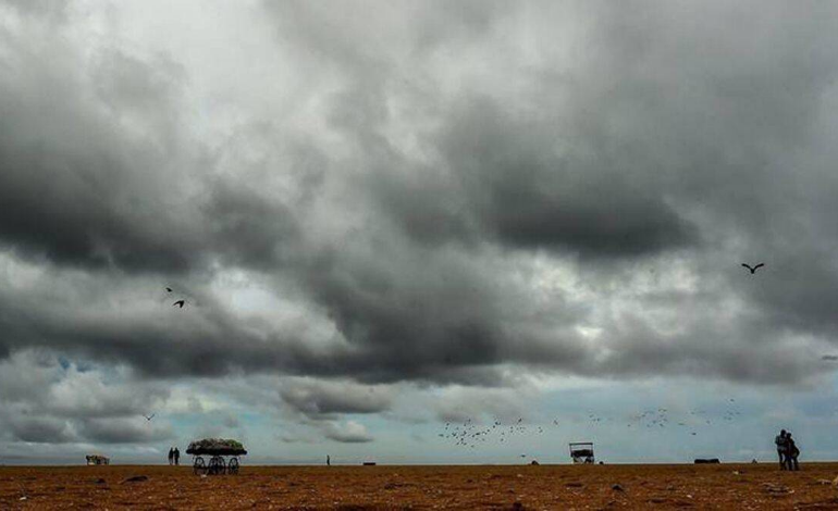
The India Meteorological Department (IMD) predicted on Friday that Cyclone Sitrang, the first cyclonic storm in the north Indian Ocean following the monsoon, is likely to make landfall on the coasts of West Bengal and Bangladesh on Tuesday and bring heavy rain to Bengal and Odisha around Kali Puja and Diwali.
Several worldwide models have shown that the weather system is likely to become a severe cyclone before reaching landfall over Bangladesh's coast on Tuesday, with a speed of between 100 and 110 kmph. According to Sanjib Bandyopadhyay, deputy director-general of the Regional Met Centre in Kolkata, it will primarily affect the Sundarbans, which are located in West Bengal and Bangladesh, as tidal waves are likely to reach a height of 6 metres due to the twin effects of the weather system and new moon.
In addition to damaging kutcha roads and embankments, he warned that strong winds up to 100 kph and high tides might also interrupt electricity and communication lines and inflict damage to kutcha homes. It is predicted to produce isolated bouts of heavy rain in north coastal Odisha as well as heavy to very heavy rain in the coastal regions of West Bengal.
The cyclone was 580 kilometres south of Sagar Island in West Bengal and 740 kilometres south-southwest of Barisal in Bangladesh around 5.30 p.m. on Sunday, according to the report.
"Yesterday’s WM Lover north the Andaman Sea and adjoining south the Andaman Sea & SE Bob concentrated into a depression at 0830 IST today and lay near Lat 12.7N and Long 92.4E, about 110 km NNW of Port Blair. Likely to intensify further into a Deep Depression by 23rd October morning," the IMD's Bhubaneswar regional centre tweeted.